The route
The route
Tougher than it looks. Three remote Lake District valleys, out of Shap and back, following the round the postman walked until 1976. Start and finish at Birchwood Cafe, run by the family of the last postman to walk it.
The round
One round, three valleys
From Birchwood Cafe
The Shap round
- miles
- 14.7
- kilometres
- 23.7
Out through Swindale to Mosedale Cottage and home through Wet Sleddale. About 600 metres of climb. A steady run takes around 3 to 3½ hours; walkers should allow a full day.
Download GPXOut of Shap past the abbey, into Swindale and up the valley to Mosedale Cottage, then over to Wet Sleddale and home to Birchwood Cafe.
Distances are by GPS. Please follow the route and stay on public footpaths: the GPX is a guide, not a licence to cross private land. The round isn’t waymarked, so carry OS Explorer OL5 and a compass.
Current notices
Near Shap Abbey the Coast to Coast path has been rerouted with new bridges, and some old signs have been removed. Follow the current right of way; don’t cut straight up from the abbey across the fields.
A buzzard has been defending its territory in Swindale. Give it room, and keep moving.
The round, stop by stop
Your guide: Jude, a Shap fell runner who runs the round regularly.
Sketch map, not to scale — use OS Explorer OL5 and a compass.
Birchwood Cafe
Start at Birchwood Cafe in the middle of Shap village (NY 56268 15254). This is where water bottles can be filled and pre-run sustenance purchased over the old post office counter. Be sure to check your time against the old post office clock that hangs on the wall. Head for Shap Abbey via the ancient Goggleby Stone: a 10-foot prehistoric monolith standing alone in its field, and a great opportunity to survey the eastern fells and your route to come.
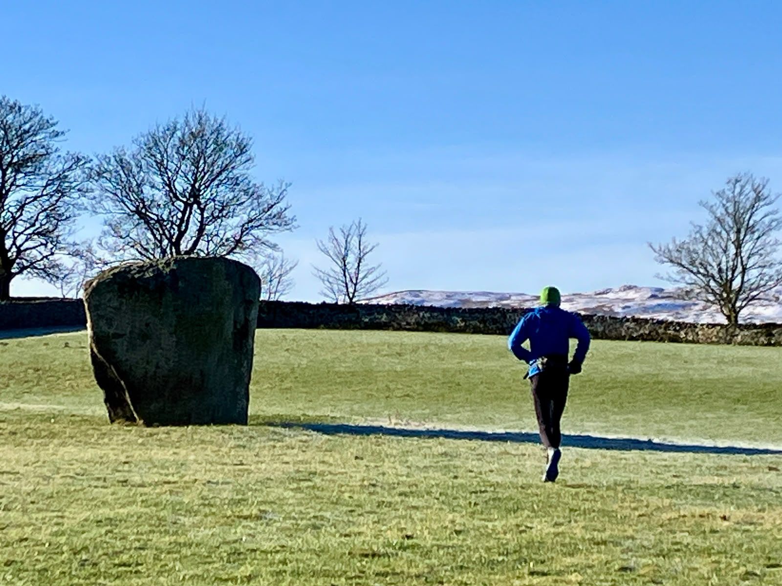
The Goggleby Stone, on the way out of Shap Shap Abbey
A picturesque ruin of a 12th-century monastery in a lovely secluded valley beside the River Lowther. From the abbey take the path over the fields to meet the road, then across the moorland to Tailbert Farm. The Coast to Coast path has been rerouted here with new bridges, and some old signs are gone: follow the current right of way rather than cutting straight across the fields.
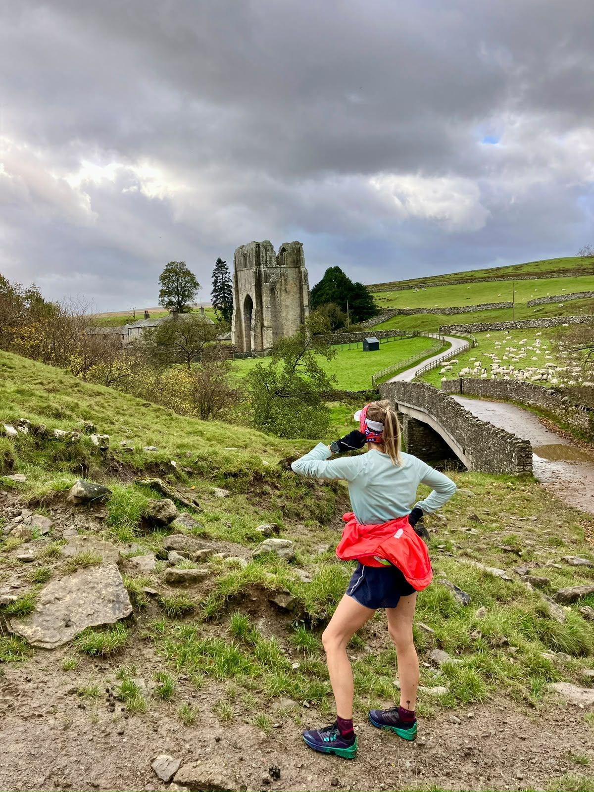
Shap Abbey Tailbert Farm
Make your way through the farmyard (better get a mooooove on) and continue to Tailbert Head, the one-time home of the reclusive Mary Burgess. Now a delightful ruin, it opens up views of Swindale.
Swindale Foot
Next take the seldom-used footpath to Swindale Foot Farm. This section may present more of a challenge in high summer, when the bracken is high.
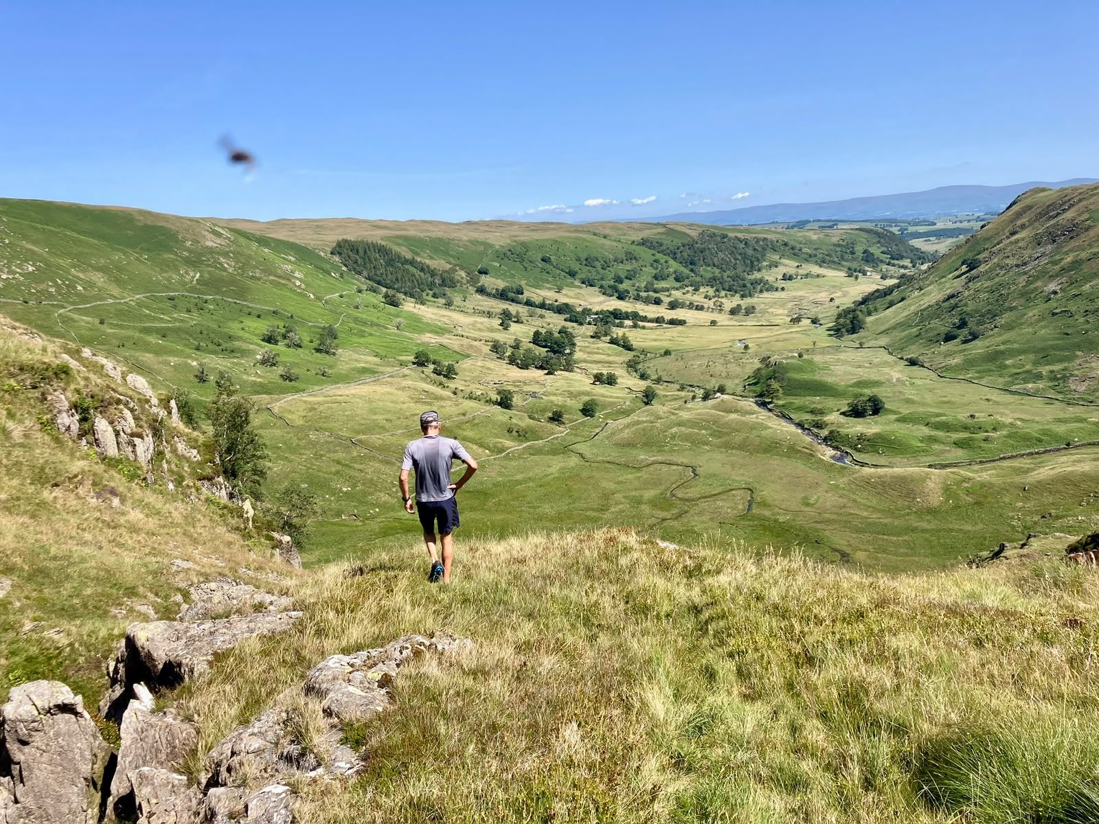
Dropping into Swindale Truss Gap
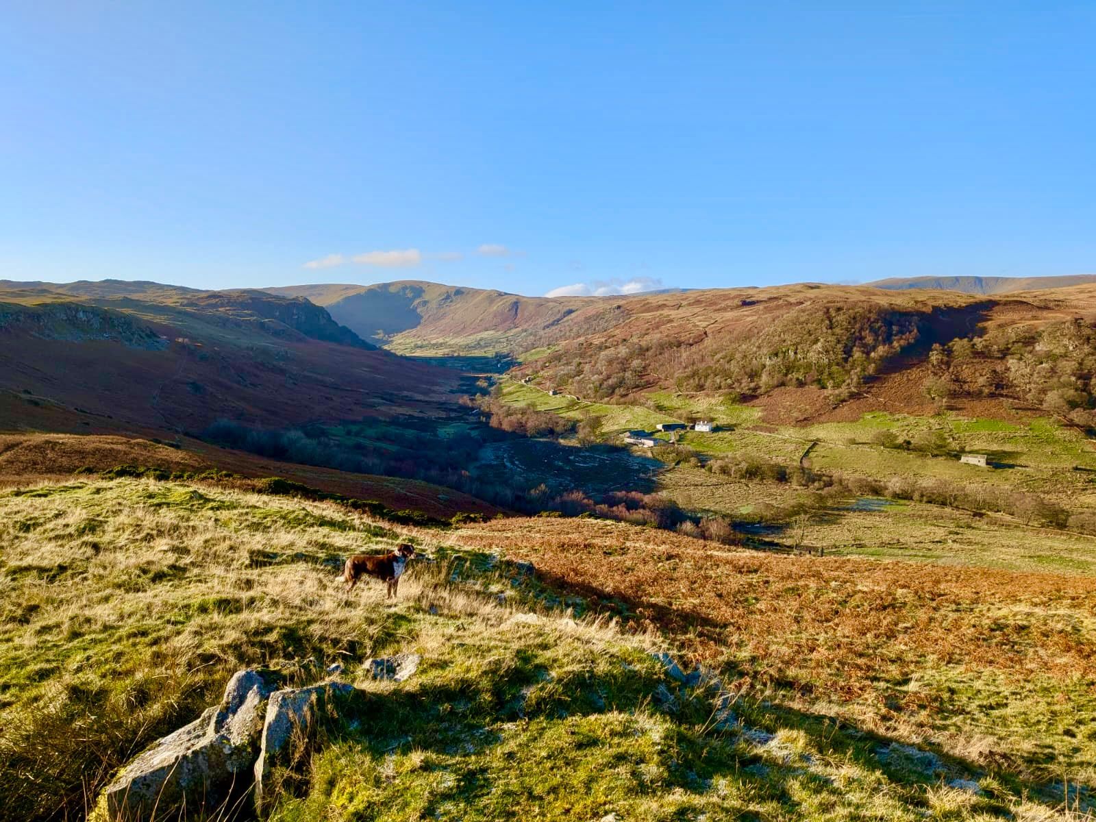
Leave Swindale Foot by a short stretch of road and head towards Truss Gap House. Swindale is one of the quietest, most secluded valleys in the eastern Lake District, known for tranquil, untouched landscapes and pioneering wildlife conservation. From here, take the lower path along the valley across the open meadows to reach Swindale Head.
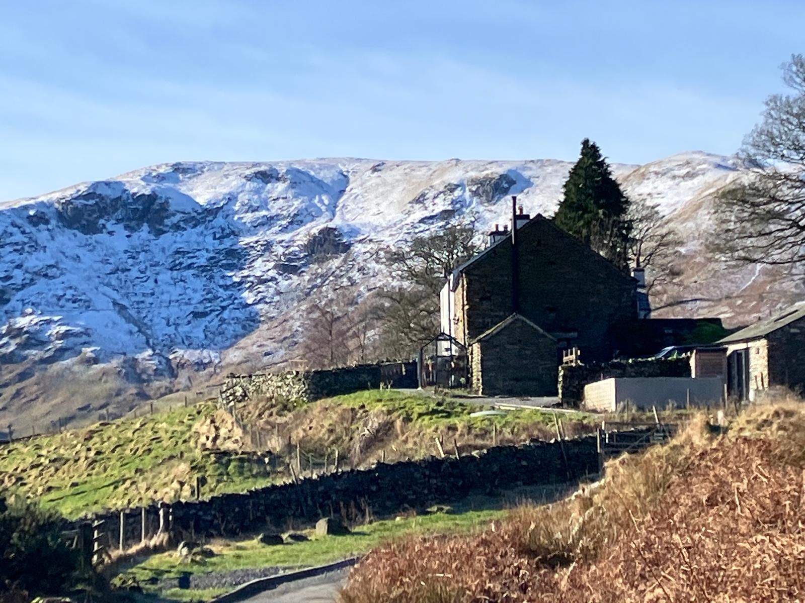
Truss Gap House, Swindale Mosedale Cottage
Swindale Head Farm is a dramatic gateway to the head of the valley. The old bridleway contours round it, passing long-abandoned homes and farmsteads, and from here the route becomes wilder as it climbs to the remote Mosedale valley. Use the old footpath or pick your way up beside the waterfalls: a spectacular but hidden series of cascades with deep pools that make a swim irresistible on a hot day. It’s a scrambly ascent with no definitive path, but well worth the mini detour. Once you’ve plateaued in Mosedale, a rugged and bleakly beautiful glacial glen, continue along the old and now gnarly track to Mosedale Cottage, the most remote bothy in the Lake District, once home to shepherds and to workers at the nearby slate quarry.
Now reverse your route for a little while, then head east to cross Mosedale Beck at Flatbed Bridge. You’ll almost certainly have wet feet by now, so don’t be worried by the short, steep climb through boggy ground to the head of Wet Sleddale. It didn’t get that name for nothing. Just be glad you’re not the postman and have to do it all again tomorrow. There used to be a small sentry-box shelter here where he could eat his pack-up, but it has long since blown away. A variable track skirts under the summit of Scam Matthew (519 m) and gradually descends to Sleddale Hall.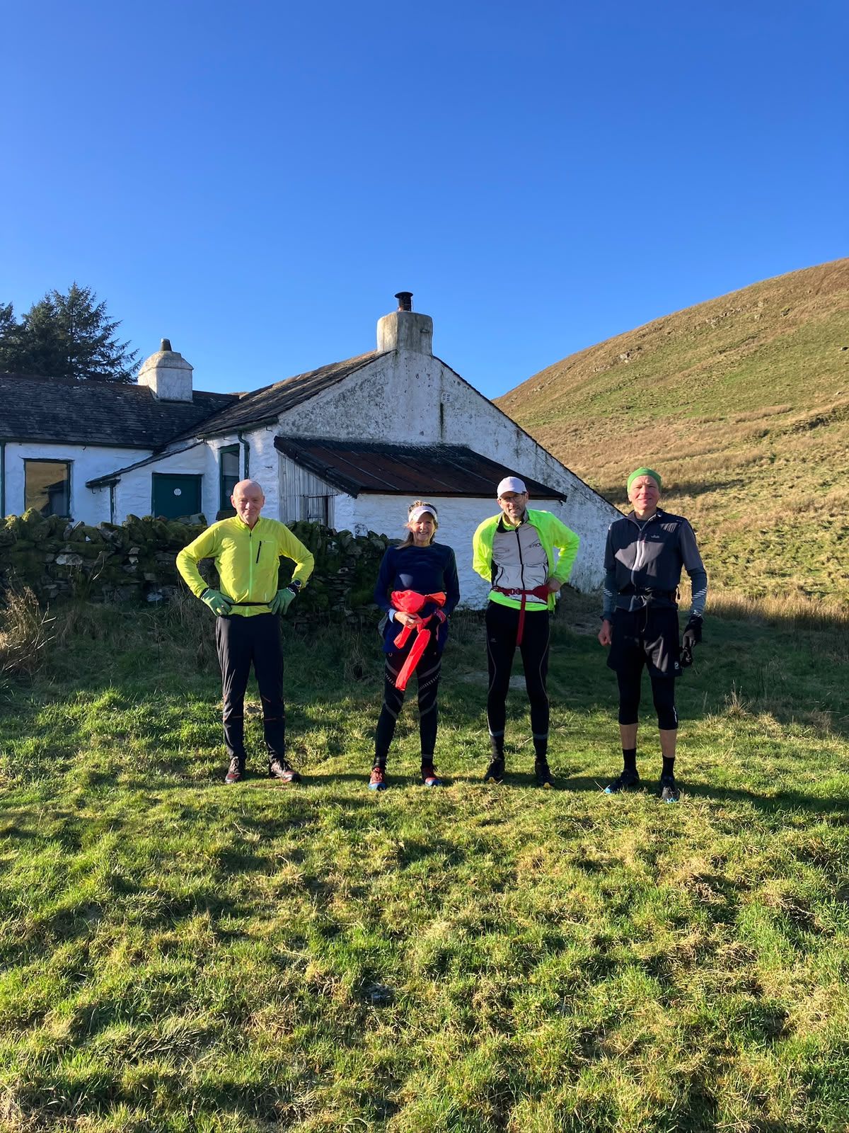
Mosedale Cottage Sleddale Hall
A remote 18th-century farmhouse, famous as Crow Crag Farm in the cult classic Withnail and I, and now a major pilgrimage site.
Thorney Bank
Leave Sleddale Hall along the terraced track and join the tarmac road at Green Farm, continuing past the postbox at Thorney Bank Farm.
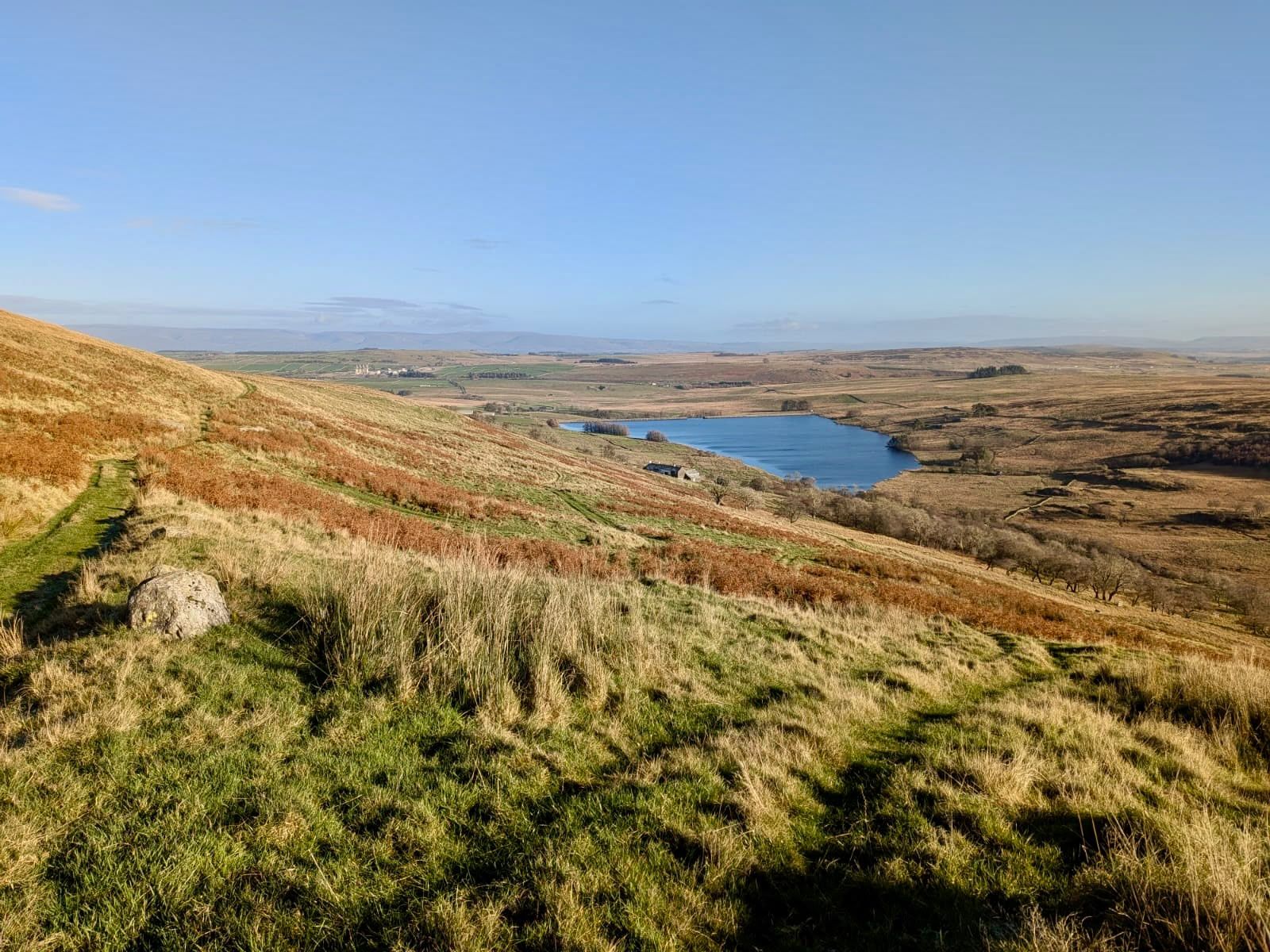
Above Wet Sleddale Stepps Hall and home
Only one more letter to drop off now. Keeping the river on your right-hand side, cross the concrete road and follow the river until you reach your final delivery: Stepps Hall. Cross the river at the stepping stones (if the river is in spate they may be uncrossable: follow the road from Thorney Bank to the A6 instead) and continue up the lane or across the fields to the A6. Turn left and head north back to Birchwood Cafe. Take a note of your time and post your round. It’s now time to sit down, relax and replenish.
When to go
The round is low-level, which makes it a good choice in winter and on days of poor visibility, when the high fells are off-limits. In summer, thick bracken and grass can cut up your legs; in winter it dies back and the going is easier, though colder and wetter.
New to the round? Go with someone who knows it, or walk it in stages first.
“This is a suggested route, so please take full responsibility for your own navigation and safety. It is at times exposed and challenging in winter conditions. That’s why I know you’ll enjoy it. The round commemorates the posties who served their communities for many years, so please take a moment to doff your cap.”
Jude
Route guide by Jude, written for The Fellrunner with the kind permission of Alan Cleaver. Alan Cleaver thanks Stuart Lewis and Jean Scott-Smith for their help plotting the route. Stops follow Birchwood Cafe’s illustrated map, The Postman’s Route.